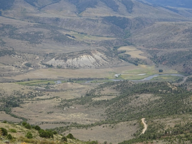
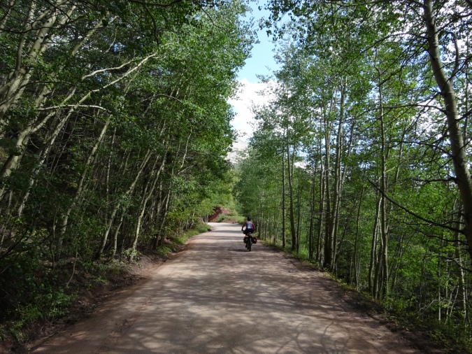
August 28 – On this day, we rode from Steamboat Springs to Lynx Pass campground. It was only 38 miles, but we climbed to 9030 feet in elevation. We rode along a golf course, through farms, ranches, country home subdivisions, then up a stream to Stage Coach Reservoir. It was there we turned up a less traveled gravel road towards the mountains.. It was a long climb that got steeper as we neared Lynx Pass. As we neared the pass, hunting traffic increased. Bow hunting has opened for elk and deer.
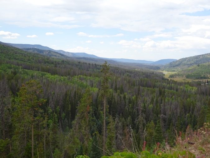


Our GPS says that we topped out at 9030 at the campground. We climbed a bit from the route, where the top elevation was 8937. It was chilly at camp, and we were happy to find firewood. Late into the night, a rogue coyote began making the funniest tipping howl ever. It sounded like a young coyote learning to howl. I can tell you this, it had no success in hunting because it was making so much noise.

August 29 – The morning began with roller coaster hills. Up and down we rode for 15 miles before we began our big descent to 7000 feet. This section of the route was once a stage coach route, and the old stage stations still stand.

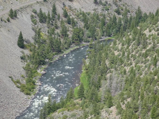
We descended from Lynx Pass through open sage covered hills. At about mile 5, there was Rock Creek to ford. I decided my shoes needed washing and rode through it. I figured by the end of the day, my shoes and socks would be dry, and I was right! Actually, it was kind of refreshing.


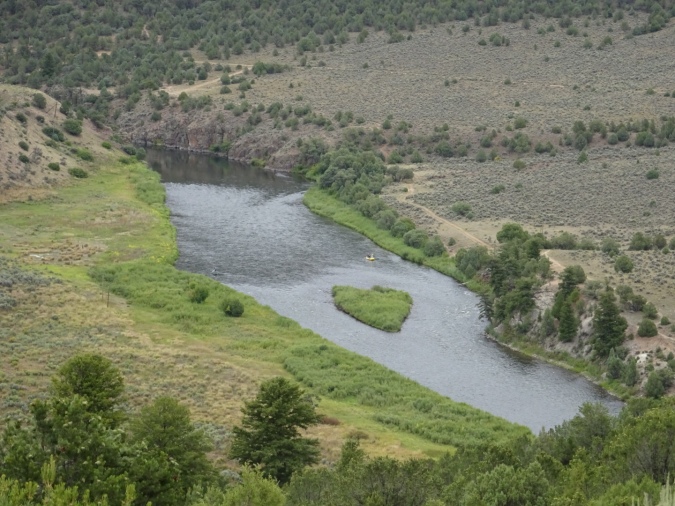
At French Creek, and 8500 feet elevation, we began our 1500 foot descent to the Colorado River at Radium. There were several groups rafting in the area. We also saw fishermen in drift boats and single man catarafts.


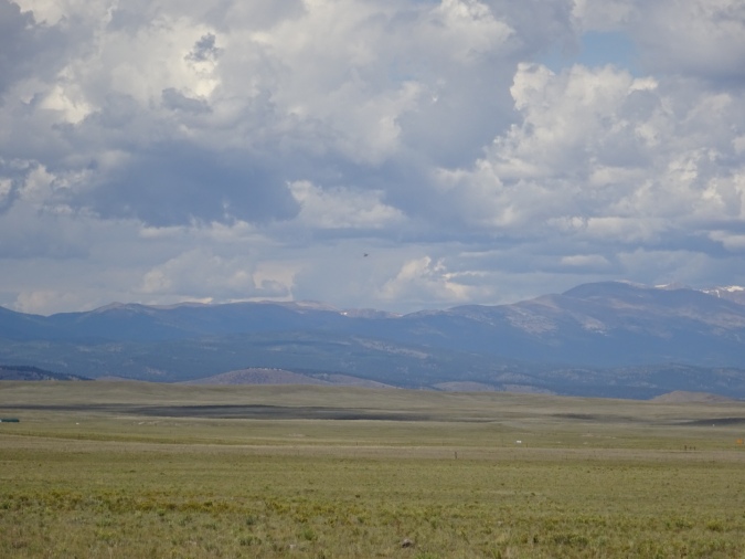
From there, we rode up an 800 foot pass, then descended 600 feet.

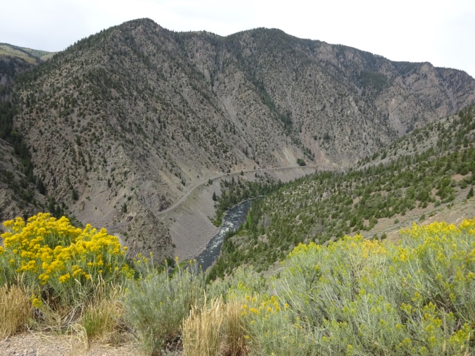

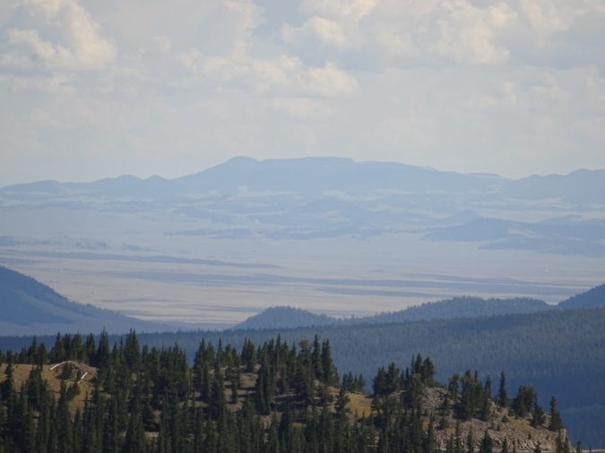
We climbed again to reach Inspiration Point and a watershed divide as we rode up the Colorado Headwaters Scenic Byway.
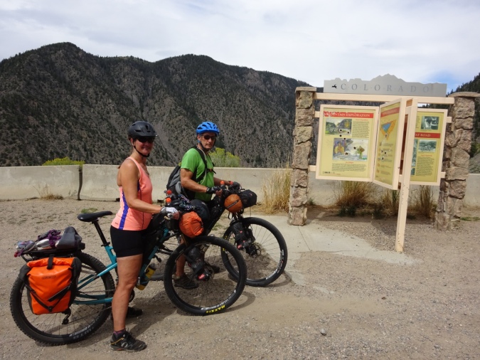
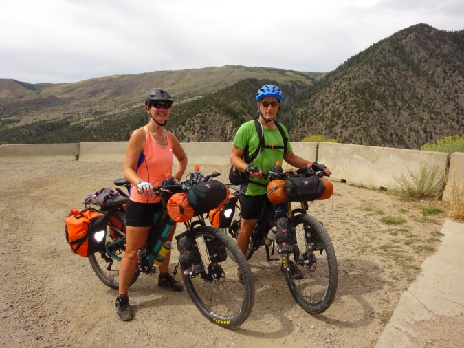
While it would have been awesome to ride to the headwaters, we left the road at Kremmling.


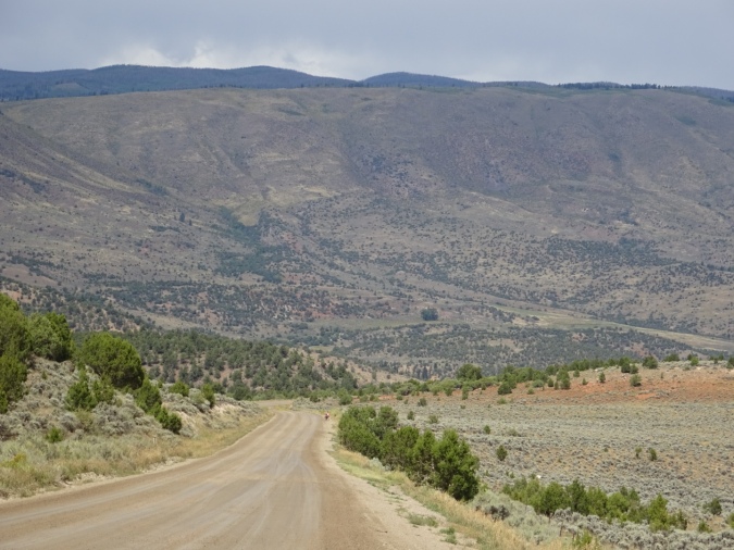
We had planned to stop in Kremmling for the evening, but the good weather held and it was early afternoon. We decided to ride onto the Williams’ Fork Reservoir. Here we made camp.

We climbed and descended several times on this day. Over 52 miles, our total gain was over 8500 feet in elevation and a 7500 foot loss. Our final elevation was 8000 feet.

August 30 – No matter what we do, we cannot seem to get out of camp before or a hotel room before 9:00 a.m. Today, because we hadn’t planned to camp, I didn’t even cook, I just heated water for coffee. Still, it was 9:08 when we pulled out of camp.


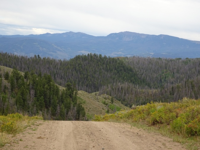
At the start of our ride, we began climb into ever upwards to go from 8000 to 9600 feet at Ute Pass. Our ascent took place over 20 miles. As we approached the summit, we came across a huge molybdenum mine. It is always astonishing to see such a scar when you are out in the wild.


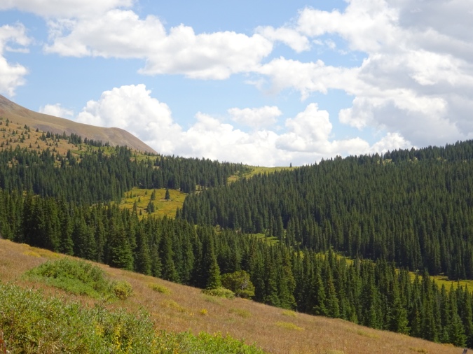
After a final push to the summit, nature returned. Gorgeous views of mountains were ahead.


Our descent of 1400 feet took place over 4 miles. From there, we climbed to Silverthorne on a paved road. Bill’s front tire had started to bubble and bulge with the tread delaminating, so we had to make a stop for new front tires! I guess it has been 2200 miles since the last new front tires. We ended our day’s ride in Frisco. What an awesome little ski town.

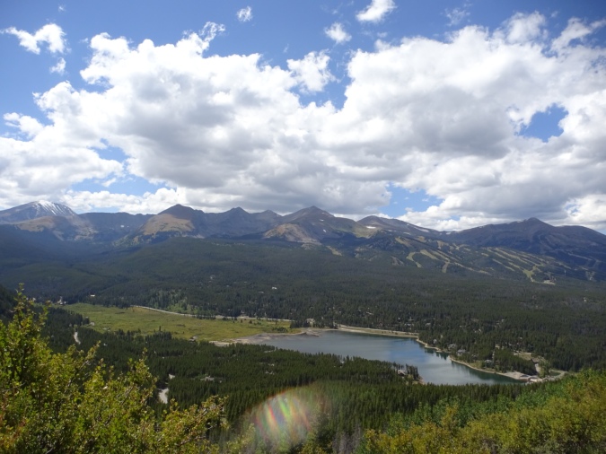
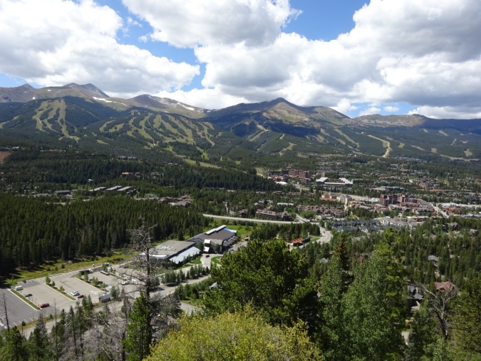
August 31 – Under beautiful sunny skies, we rode out of Frisco to Breckenridge along a bicycle path. The trail system here is awesome. There are bicycle trails between Vail, Frisco, Silverthorne and Breckenridge. Signs indicate the open space and trail system have been built with funding from the Colorado Lottery! What an awesome use of public dollars.
At Breckenridge, we stopped to fuel up for our coming climb. For the next few hours, we rode up an old railroad that has been turned into a road.


Through rock outcrops and aspen groves, we climbed.


Finally, at nearly 11500 feet, we reached the summit.


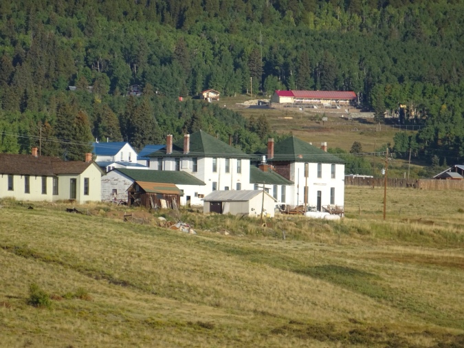
We had a 1500 foot descent to the almost ghost town of Como where we spent the night!
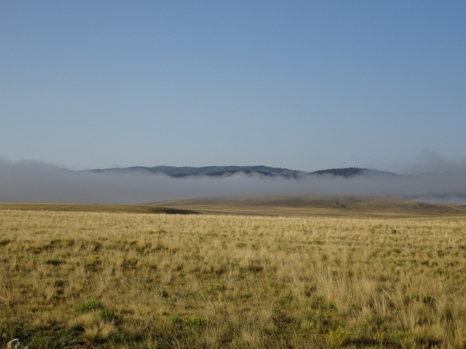
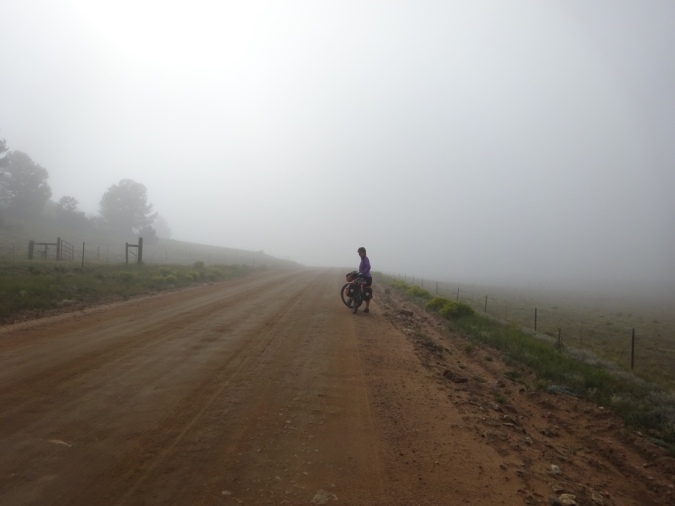
September 1 – Our ride from Como to Salida was a long 78 miles. We starterd our day’s ride above the clouds and then spent the next 30 miles riding through them. Finally, at Hartsell, we descended below the fog, stopped for breakfast, and began climbing again.
We saw a herd of buffalo on a ranch. It would have been astounding to see these beasts in great numbers on the plains of the United States 100 years ago.

This day’s ride had as much down as up. Our highest elevation was about 10000 feet. It occurred not only 65 miles into our ride, but at the beginning in Como.


The final 12 miles of the day’s ride was a hair raising descent to Salida.
If there is a single word I could use to describe riding through Colorado, it would be “climbing.” Every pass has been bigger than any we have encountered in any other state or province. Roads to nearly 12000 feet are a feature that is foreign to me. In Alaska, at this elevation, the earth is snow and ice covered year round.
Our journey has taken us over 4000 miles by bicycle. We are nearing 5000 total miles when the ferry miles are added in to our total. Along the way, we have seen so many things that have been new to us. The geologic formations, the wildlife and the people have all been awesome. Life is great!

It was good to share another excellent meal and evening with you in Steamboat and then catch up for breakfast in Salida. Some of the joys of the road come from sharing experiences over good food and drink with friends made travelling. Ride on!